Drone services in Lublin / Photogrammetry / GIS / 3D scanning

See more.
Measure with precision.

SpaceScan provides drone and geospatial services in Lublin, across the Lubelskie region and throughout Poland: RTK photogrammetry, surveying, orthomosaics, GIS mapping, 3D models, inspections, aerial photography and video.

Lublin region / All of PolandGIS and photogrammetry experience since 2013Photography by SpaceScan
01 / Expertise

Data from above.
Insights from experience.

We combine field data acquisition, specialist processing and modern technology to deliver practical, end-to-end solutions.

SpaceScan orthomosaic map
01 / RTK

Photogrammetry and orthomosaics

RTK aerial surveys, orthomosaics, digital surface and terrain models, and technical documentation.

Explore service
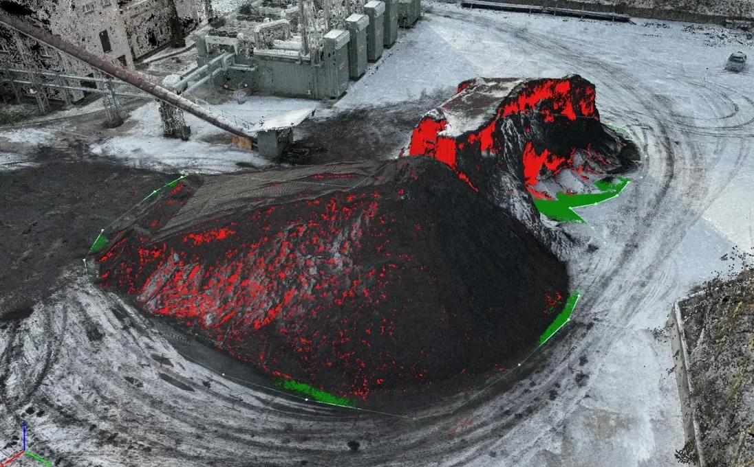
3D visualisation of volume calculations for a district heating company
02 / 3D

3D scanning and modelling

Point clouds, 3D models, digitisation of heritage sites, and models for visualisation or 3D printing.

Explore service
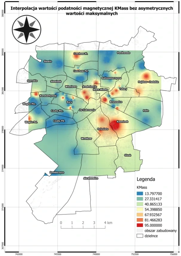
GIS analysis map — KMass interpolation
03 / GIS

GIS spatial analysis

Maps, vectorisation, spatial databases, measurements, cartography and location analysis.

Explore service
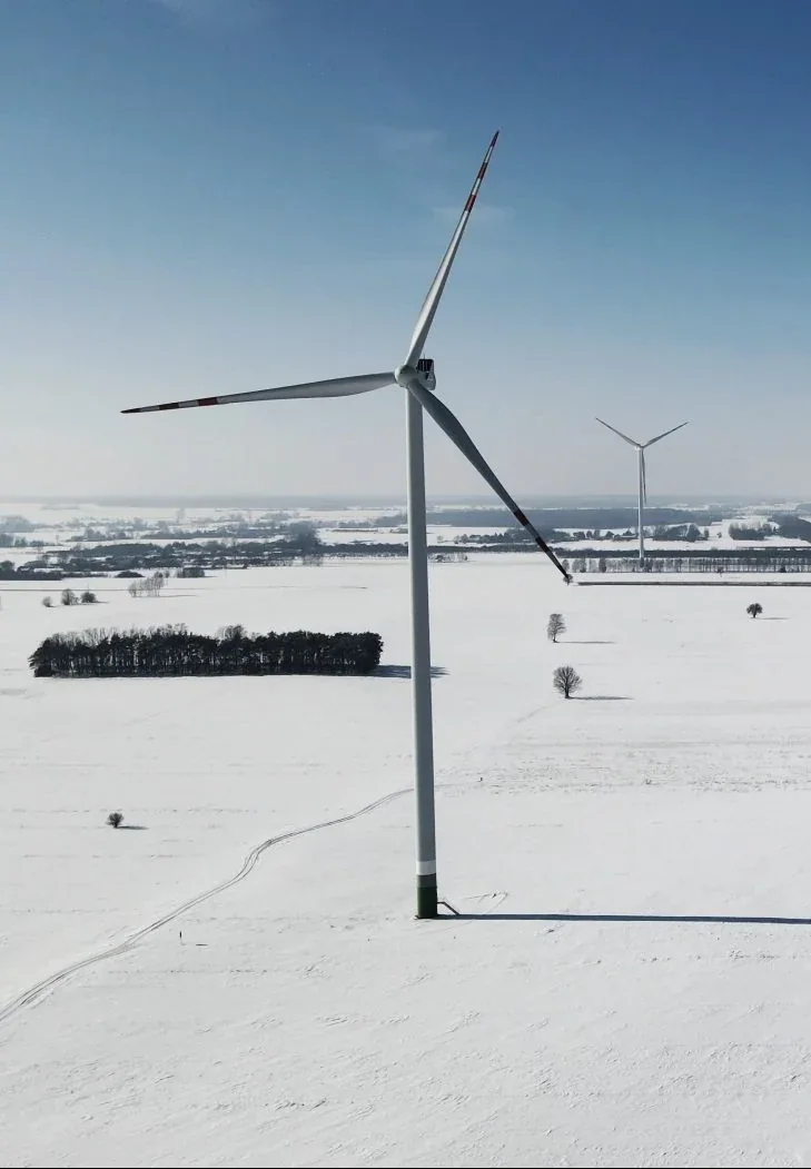
Wind turbine photographed by drone
04 / INSPECTIONS

Inspections and thermal imaging

Aerial inspection of roofs, façades, installations and infrastructure, including thermal imaging.

Explore service
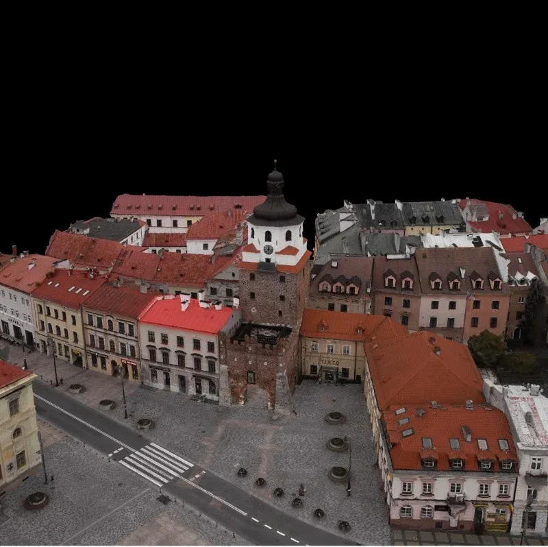
3D model of historic buildings
05 / DOCUMENTATION

Surveys and heritage documentation

Documentation of cemeteries, development sites, buildings and cultural heritage.

Explore service
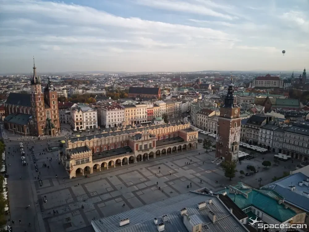
Aerial view of the main square in Kraków
06 / PHOTO + VIDEO

Aerial photography and filming

Professional photography, video and technical footage captured from the air.

Explore service
Technology in practice

More than a service.
Real-world possibilities.

Explore practical applications, examples from our projects and the results of our technical work.

Expand a service to view its details and examples. 3D scanning and modelling is open by default.

01Photogrammetry and orthomosaicsAccurate terrain imagery and data for further measurement.

Accurate terrain imagery and data for further measurement.

We carry out RTK drone flights and photogrammetric surveys in Lublin, across eastern Poland and nationwide. We produce orthomosaics and terrain models for design, documentation and spatial analysis. The required accuracy and scope are agreed for each project.

  • Orthomosaics and photo mosaics
  • Digital terrain and surface models
  • Data products for design and documentation
Enquire about this service ↗
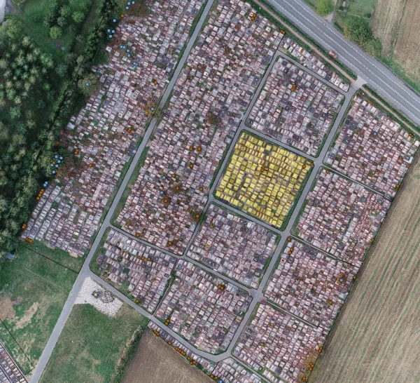
Orthomosaic of a cemetery
Digital terrain model elevation visualisation
023D scanning and modellingFrom survey data to 3D models and volume calculations

A three-dimensional view of reality.

We create 3D models, point clouds and digital representations of terrain and structures. Depending on the task, we use photogrammetry or scanning technologies. The results support inventories, documentation, visualisations and volume measurements.

  • 3D models and point clouds
  • Digitisation of objects and structures
  • Volume calculations and terrain studies
Enquire about 3D modelling ↗
3D volume analysis visualisation
3D model of another surveyed object for a district heating company
Case study / district heating company

From a 3D model to actionable measurements.

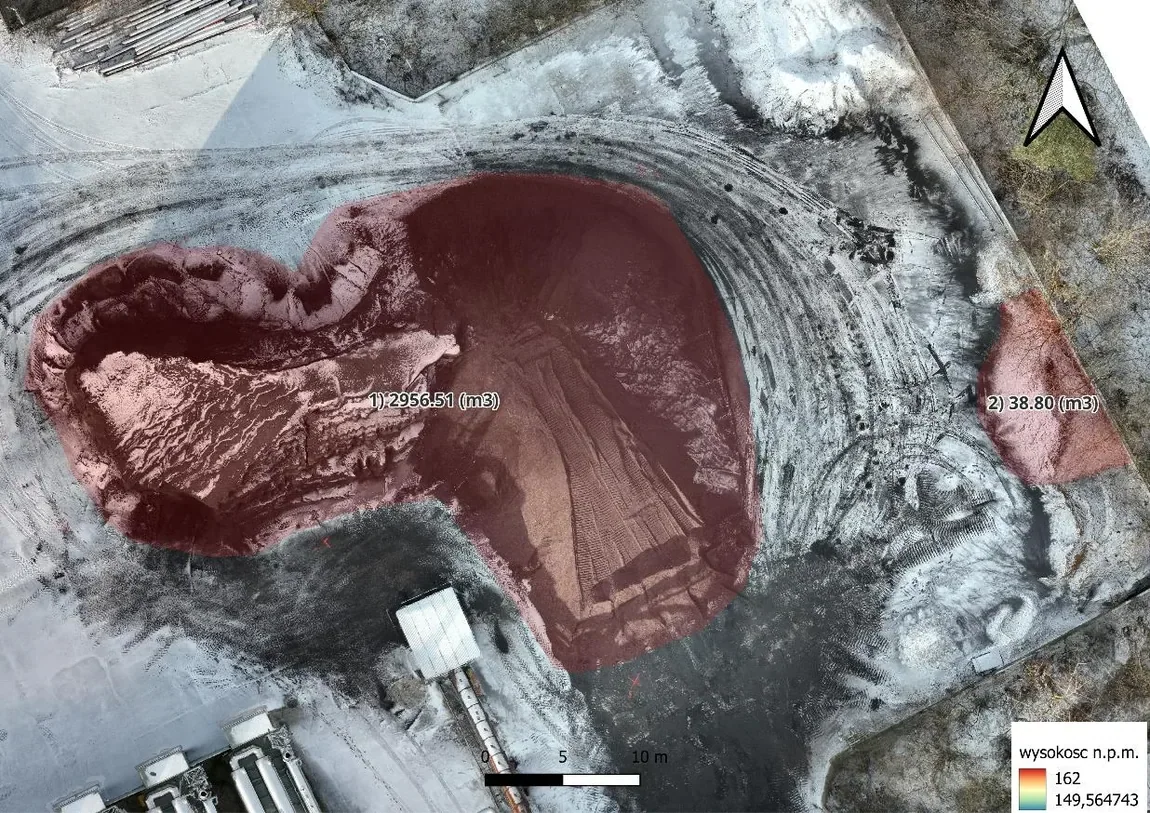
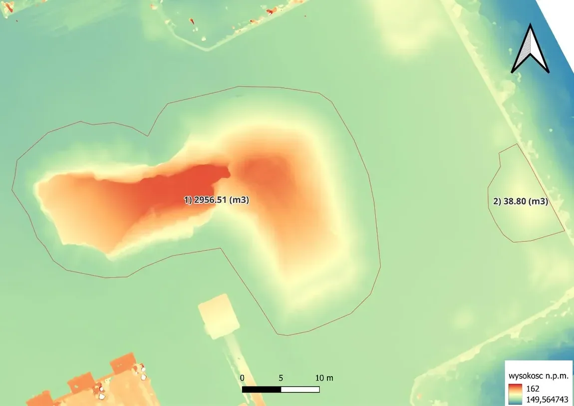
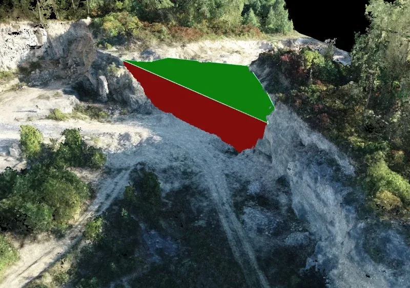
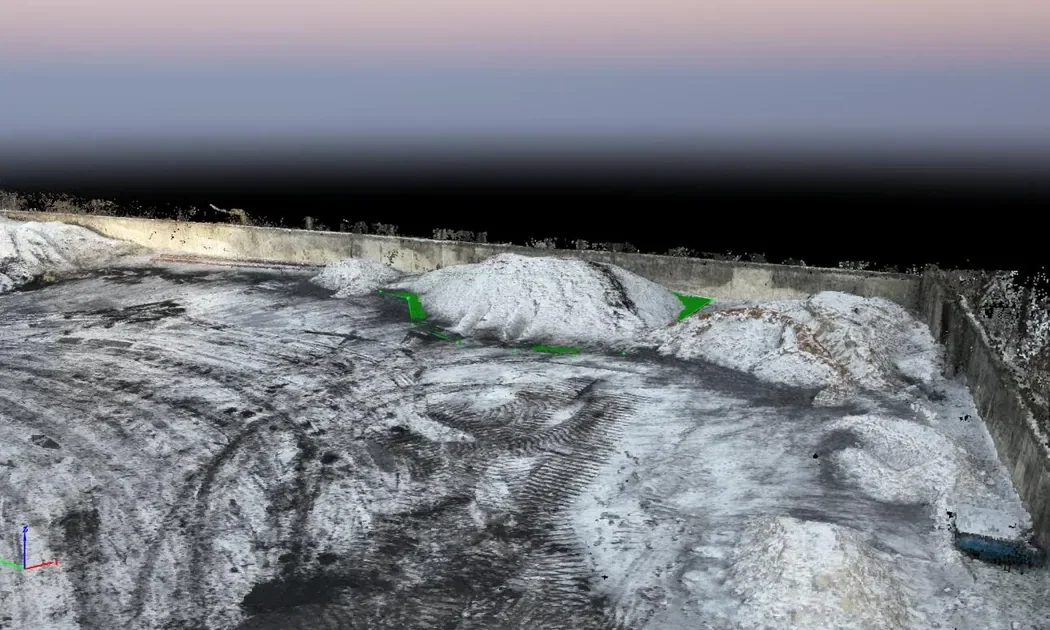
For a district heating company, we prepared a survey report containing two 3D models, an orthomosaic and a digital surface model. We used these datasets to calculate material volumes, documented in a report dated 30 December 2025.

Object 012 956,51 m³
Object 0238,80 m³
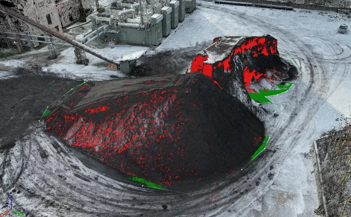
3D view of the first surveyed object for a district heating company
01 / 3D visualisation
Orthomosaic indicating volume measurement areas
02 / Orthomosaic
Digital surface model outlining the measured objects
03 / Digital surface model

Source: SpaceScan survey report prepared for a district heating company, 30 December 2025.
03GIS spatial analysisTurning spatial data into maps and insights.

Turning spatial data into maps and insights.

We combine measurements with geographic information to prepare site analysis, vector datasets, spatial databases and clear visualisations. These results help identify changes on the ground and support investment planning.

  • Thematic maps and cartographic products
  • Vectorisation and spatial databases
  • Spatial analysis and reports
Enquire about this service ↗

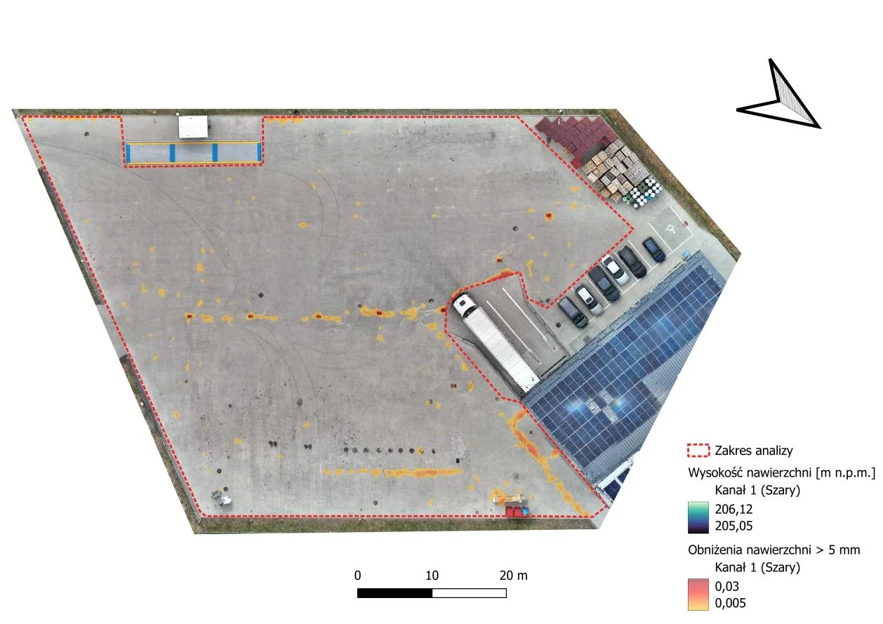
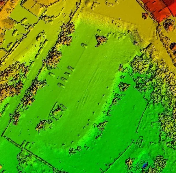
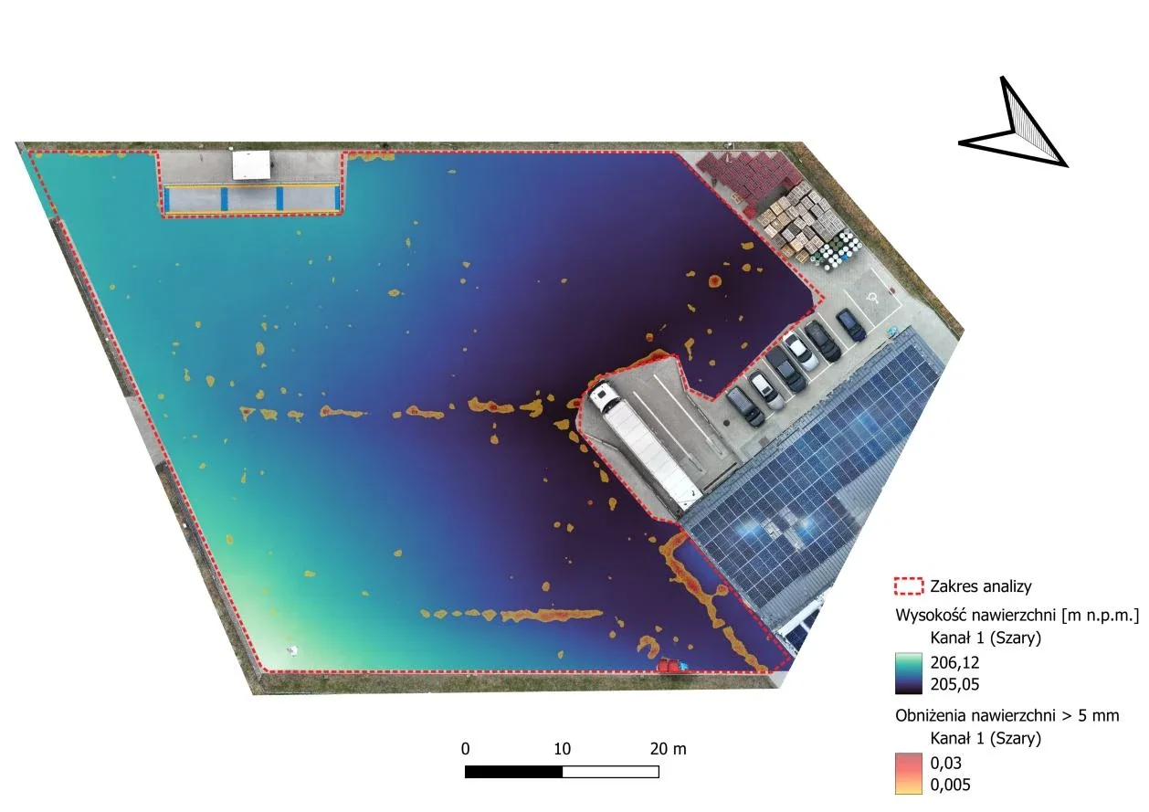
The case study below shows how GIS analysis can reveal local depressions in paved surfaces.

Map of KMass magnetic susceptibility interpolation in Lublin
Terrain elevation data visualisation
Case study / GIS spatial analysis

GIS analysis of local surface depressions

This spatial analysis combined an RTK photogrammetric flight, a digital elevation model (DEM) and GNSS measurements at 15 control points. It identified local depressions and produced a map of areas where rainwater may accumulate.

Field survey15 GNSS pointsMeasurement control and georeferencing
Detection threshold≥ 5 mmDepressions relative to the surrounding surface
Analysis outputdepression mapAreas requiring on-site verification
Surface DEM indicating the analysis area and legend
01 / Elevation model and study area
Orthomosaic indicating local surface depressions of at least five millimetres
02 / Identified local depressions

Source: SpaceScan analysis. Elevation data and GIS help highlight potentially problematic areas before further field assessment.

04Inspections and thermal imagingA closer look at hard-to-reach places.

A closer look at hard-to-reach places.

We document roofs, façades, structures and installations from the air, with thermal imaging where appropriate. Deliverables range from photographic evidence to organised inspection documentation.

  • Aerial visual inspections
  • Photographic and video documentation
  • Thermal imaging inspections on request
Enquire about this service ↗
Drone inspection of a wind turbine
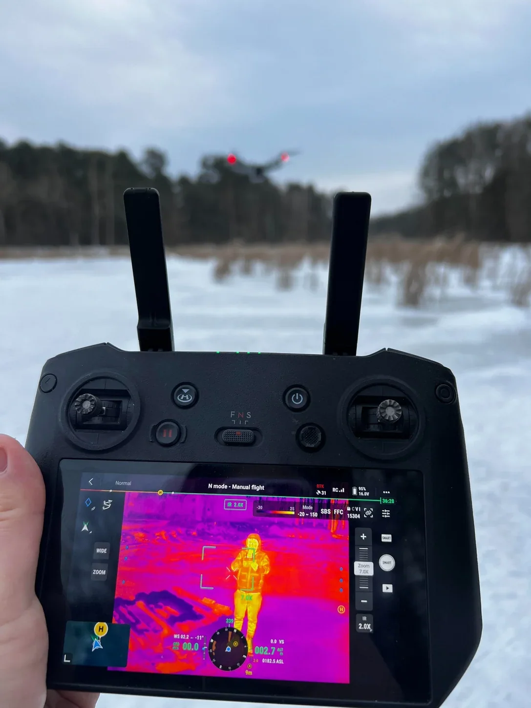
Drone controller with thermal imaging preview during fieldwork
05Surveys and heritage documentationDigital documentation of places and heritage.

Digital documentation of places and heritage.

We work on architecture, historic sites and areas requiring detailed documentation. Multi-angle photography and geospatial data provide a basis for inventories, condition assessment and further studies.

  • Heritage and architectural documentation
  • Site and cemetery inventories
  • Materials for archiving and visualisation
Enquire about this service ↗
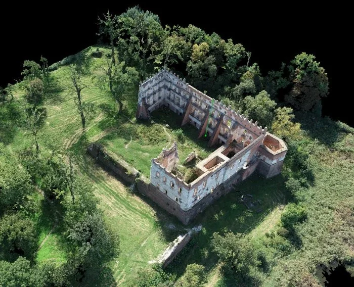
Digital 3D model of historic buildings
Digital 3D model of historic ruins
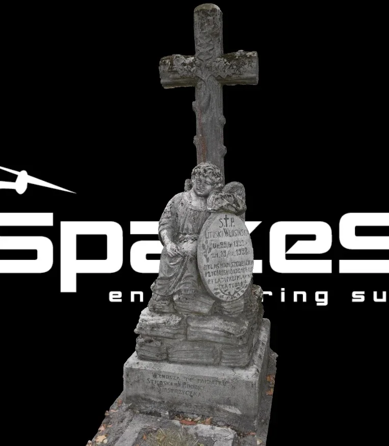
3D model of a historic grave sculpture
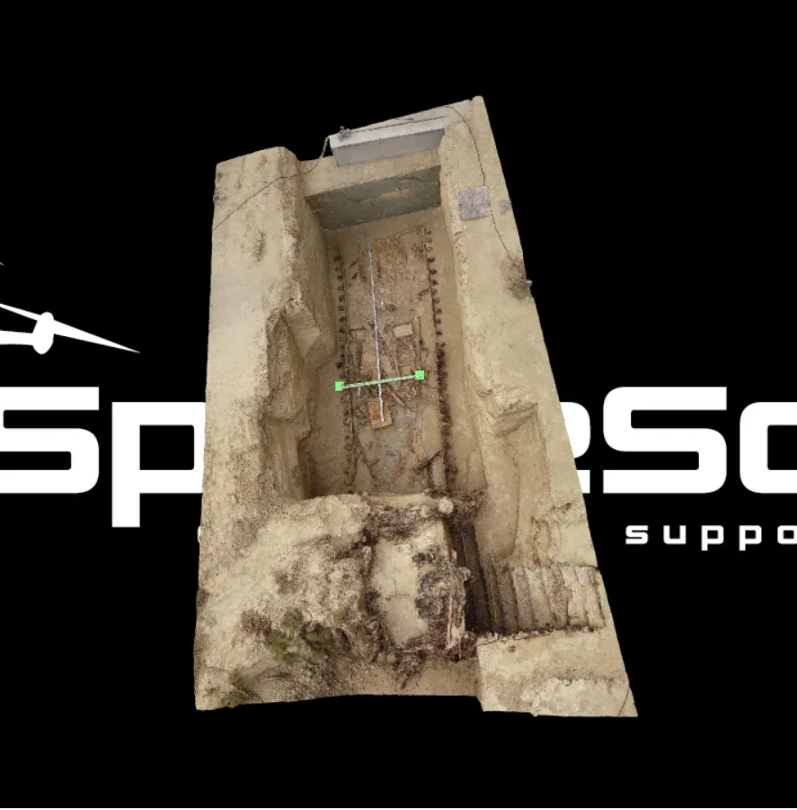
3D model of a heritage architectural feature
06Aerial photography and filmingImages that reveal more.

Images that reveal more.

We provide aerial photography and video in Lublin and the wider Lubelskie region. Our work covers promotional content, technical documentation and imagery of buildings, sites and developments, subject to flight conditions and regulations.

  • Aerial photography and panoramas
  • Promotional and documentary films
  • Images for project presentations
Enquire about this service ↗
Aerial view of the main square in Kraków
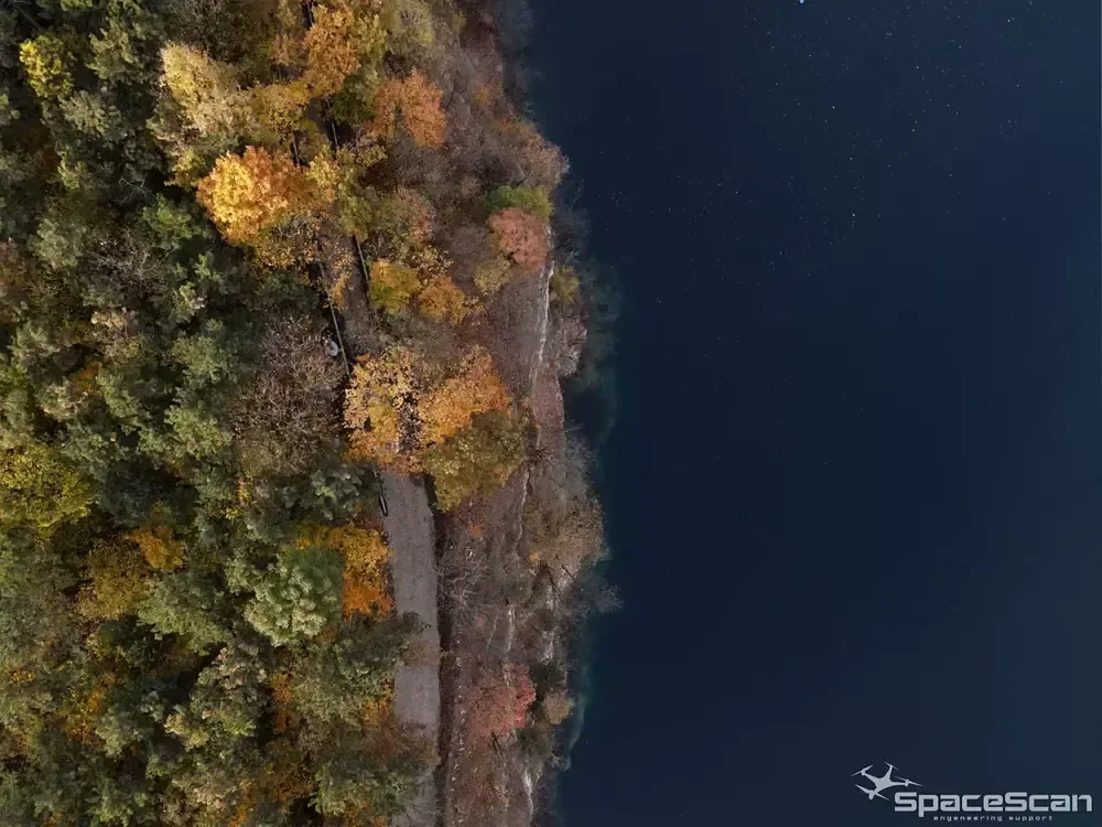
Landscape photograph taken by drone
Since 2013Experience in GIS and geospatial data
RTK / 3D / GISComplementary surveying technologies
NationwideProjects throughout Poland, with an operational base in Lublin

See the world from our perspective

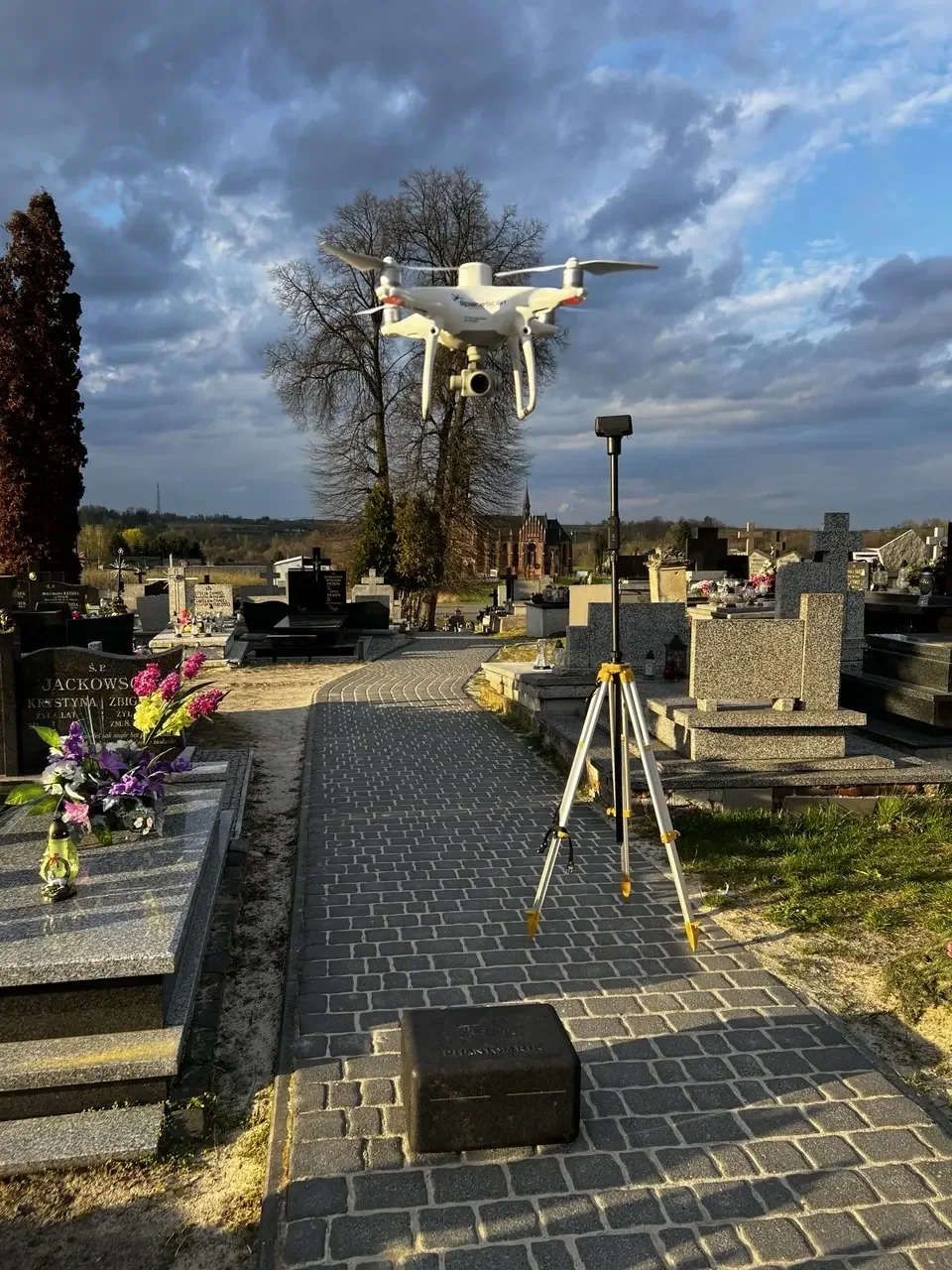
Drone during survey work above a cemetery
Technology in the field / SpaceScan
03 / About us

Technology is the tool.
Data quality makes the difference.

SpaceScan specialises in photogrammetry, remote sensing, GIS spatial analysis and 3D scanning. Based in eastern Poland, we deliver projects nationwide.

Our expertise in geoinformatics and spatial planning dates back to 2013, complemented by drone operations since 2016. We combine fieldwork with advanced geospatial data processing.

  • Qualifications in geoinformatics and spatial planning
  • Drone technology, GNSS, photogrammetry and GIS
  • Deliverables tailored to project needs
  • Operator and drone equipment insurance
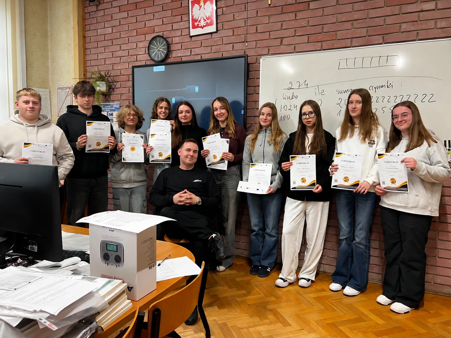
04 / SpaceScan Academy

We teach the technologies
we use ourselves.

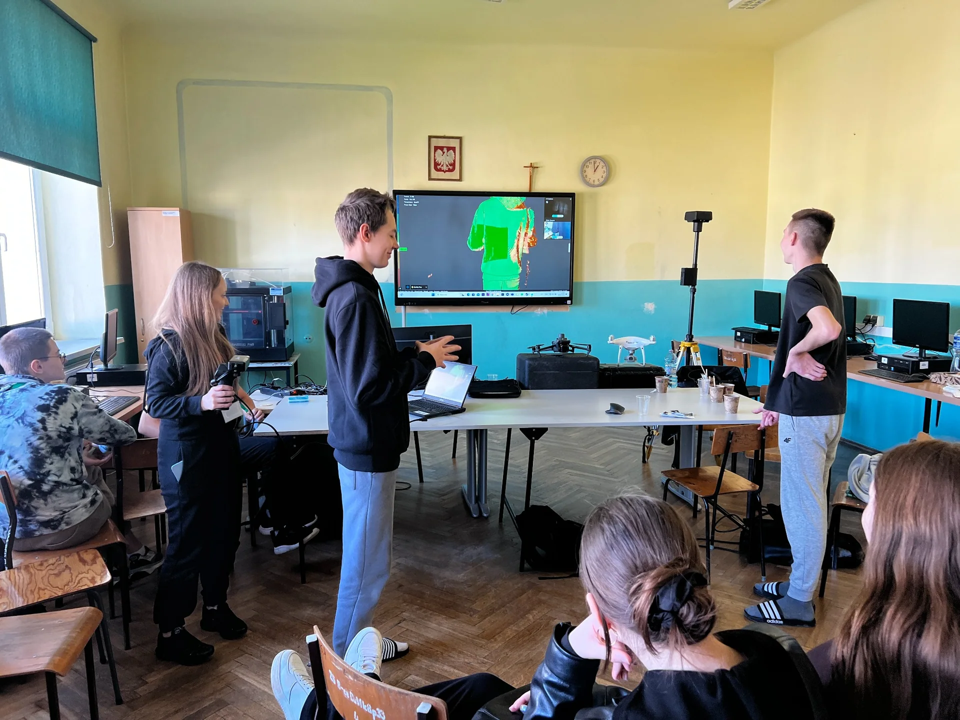
Hands-on and classroom training in drones, photogrammetry, GIS and 3D scanning for young people and adults.

  • Drone piloting and flight safety
  • Photogrammetry and drone data processing
  • 3D scanning, point clouds and LiDAR
  • Geoinformatics and spatial analysis
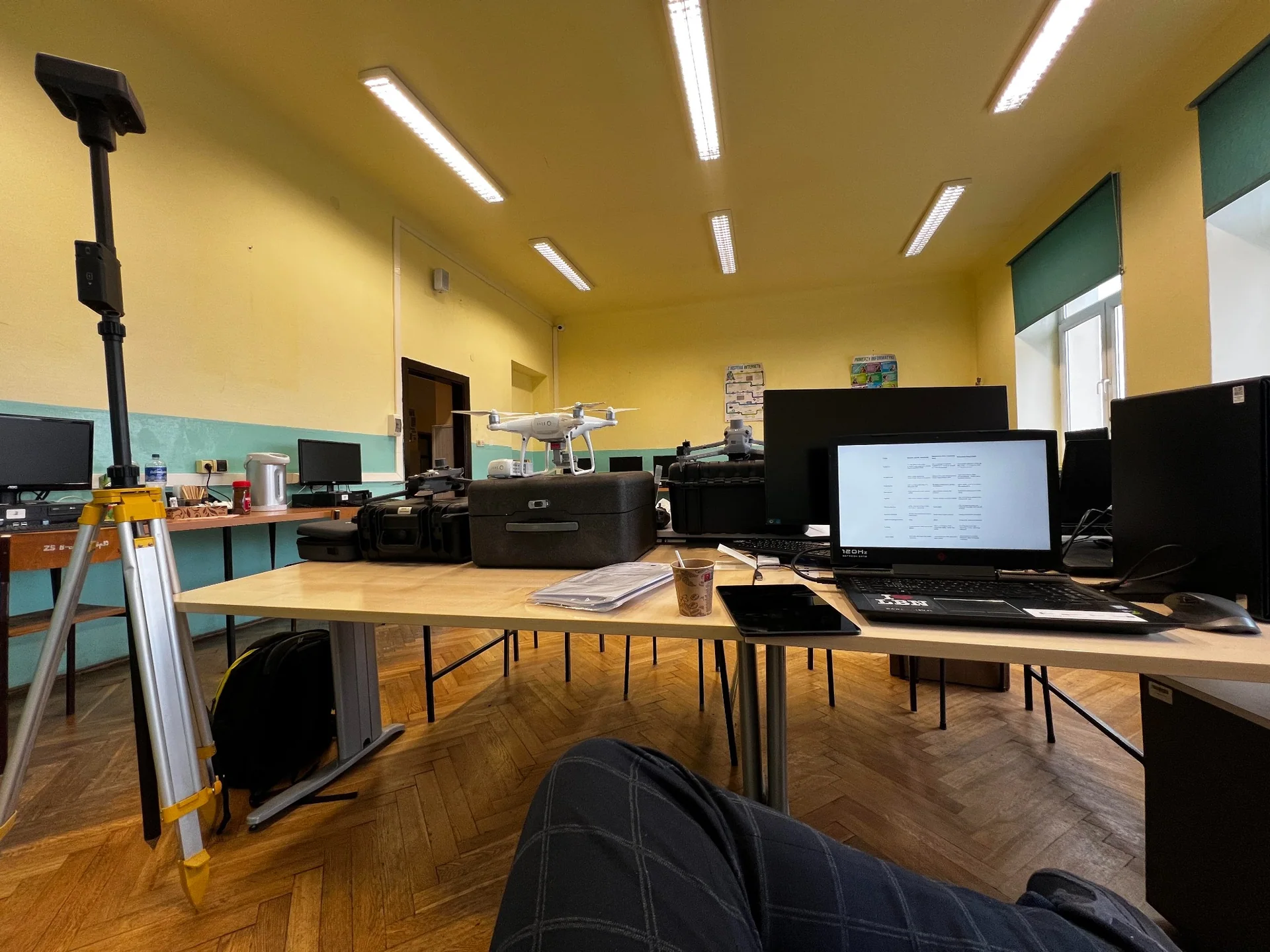
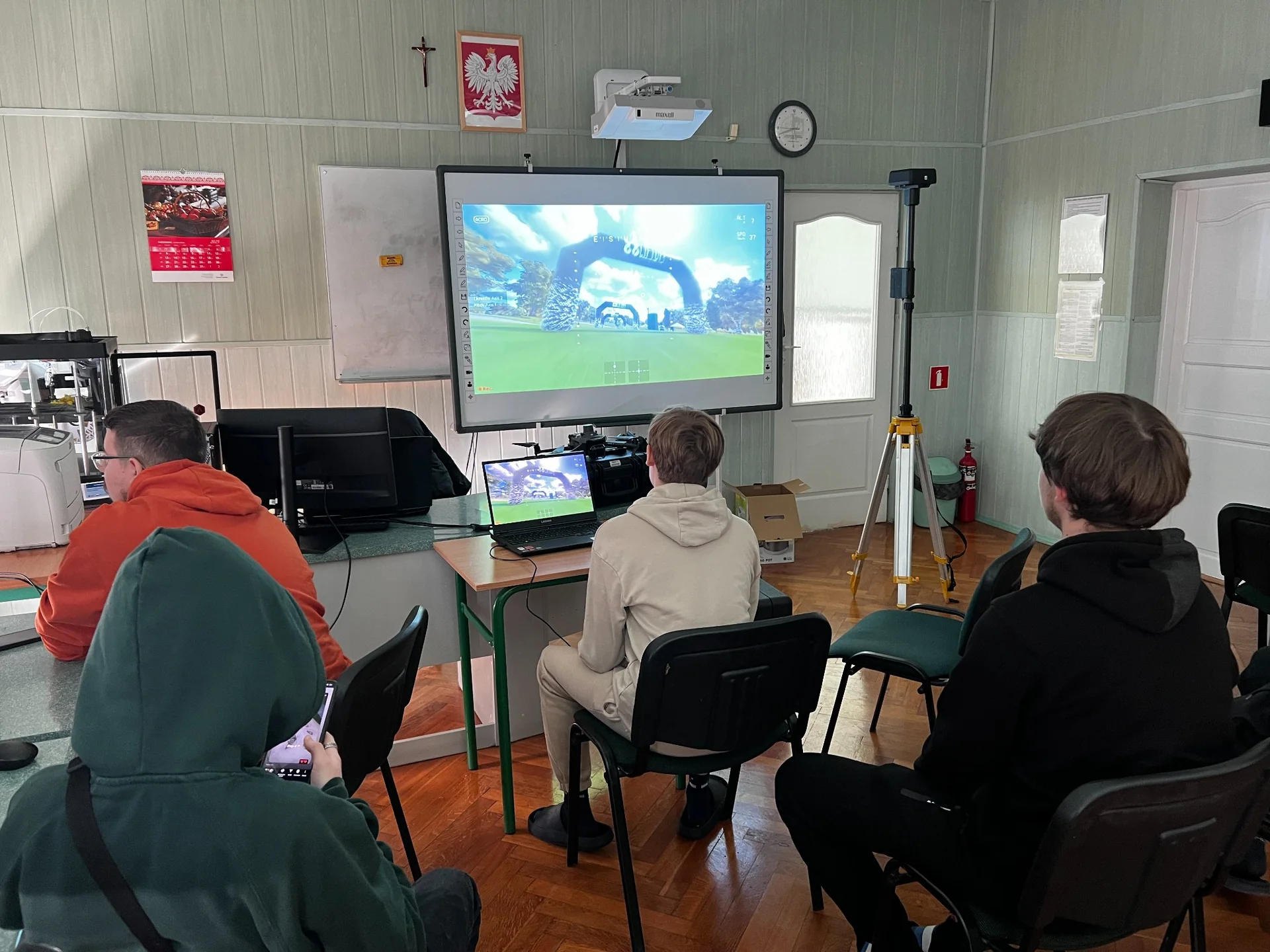
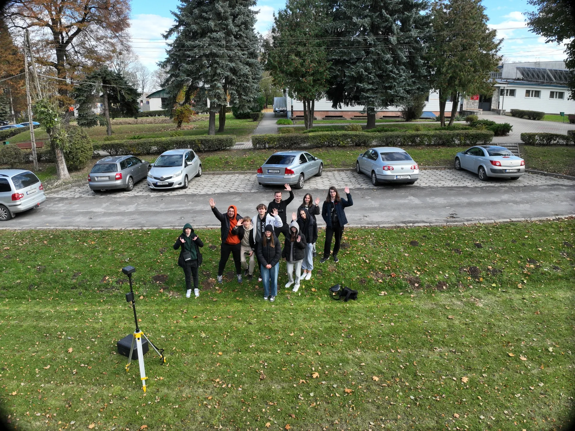
SpaceScan training with drones and survey equipment
Theory / Practice / Technology
05 / Process

From an idea
to ready-to-use data.

We choose the method and scope around the project goal, without making the process unnecessarily complex.

01

Tell us about it

Share the location, requirements, survey area and timeline.

02

We select the technology

We agree on data capture, processing methods and project scope.

03

We deliver the results

You receive the agreed deliverables: maps, models, point clouds or reports.

06 / Contact

Have an idea?
Let’s make it happen.

Tell us what you need. We will help choose the right technology and prepare a quotation.

Get in touch ↗

Accessibility Toolbar